Writing · AI / Automation / Tech
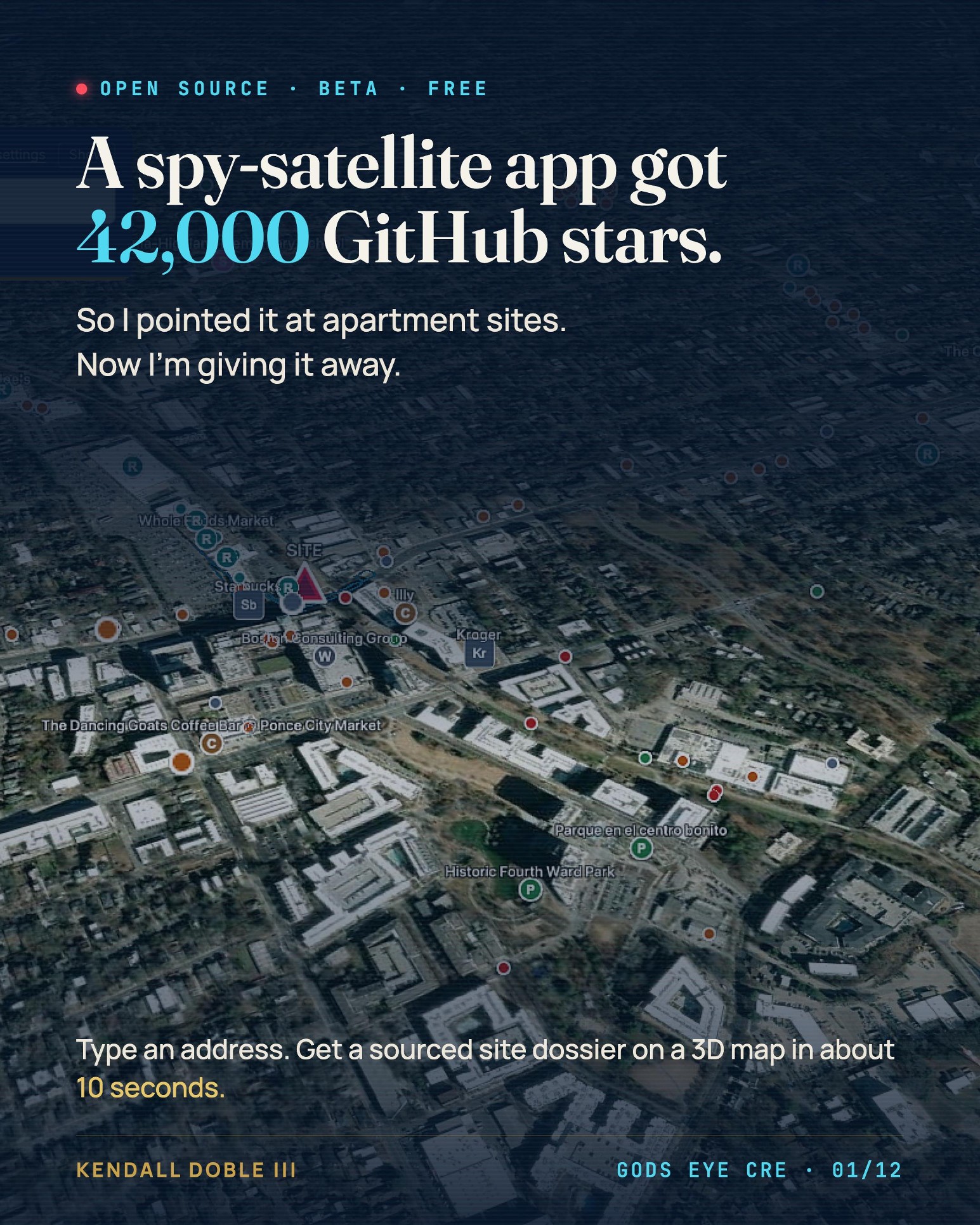
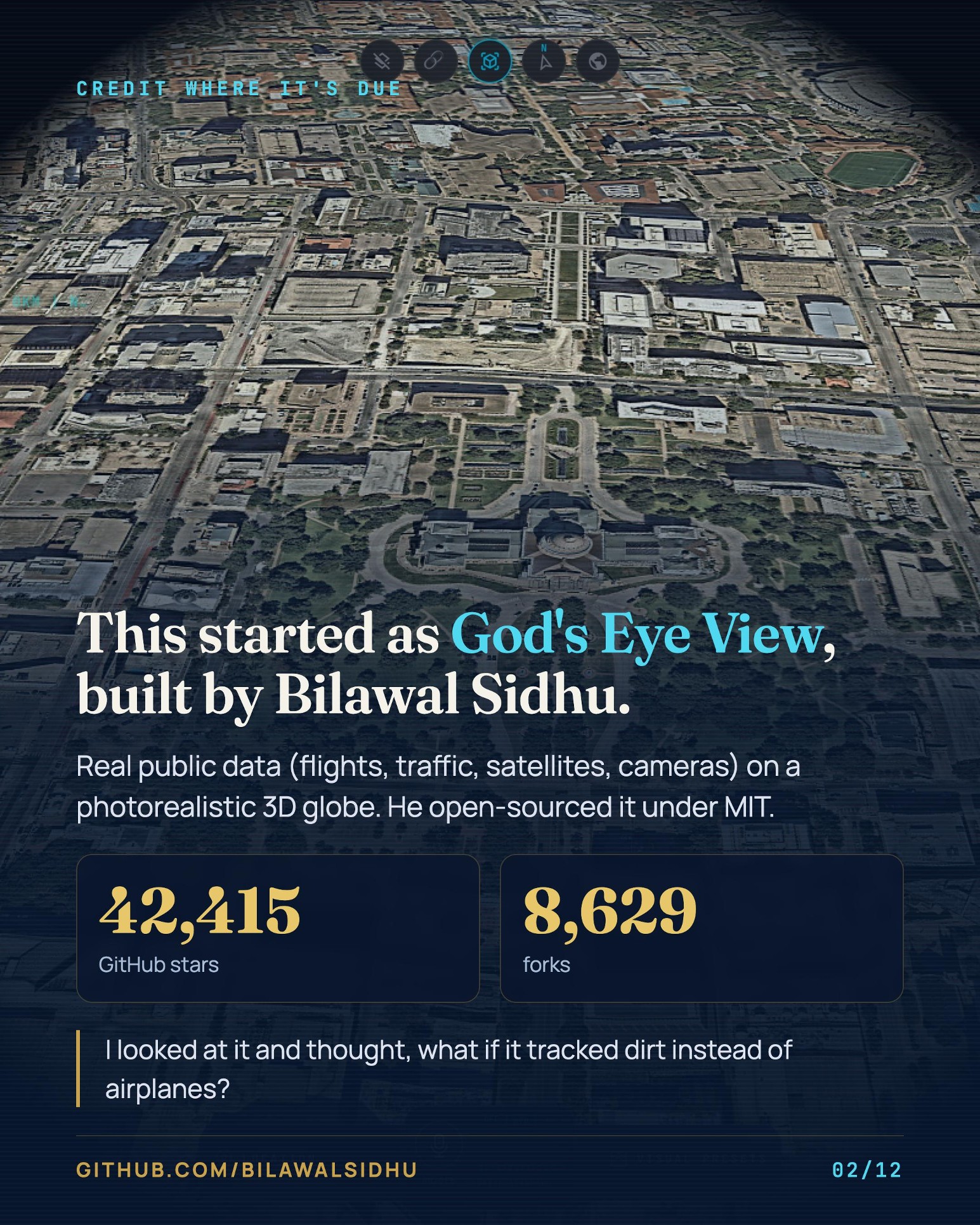
Bilawal Sidhu built a spy-satellite simulator that runs in your browser and pulls live flights, traffic and satellites onto a 3D globe. He open-sourced it. It picked up 42,000 GitHub stars.
I looked at it and thought, what if it tracked dirt instead of airplanes?
The first real test was my own property. I typed the full street address of The Harbor in Johnson City, Tennessee, and the pin landed 586 meters away, because the free geocoder it shipped with had no house numbers for that street and dropped the pin in the middle of the road. Close enough for an airplane.
We swapped in the U.S. Census geocoder, and a lot of broken builds later, Gods Eye CRE is public.
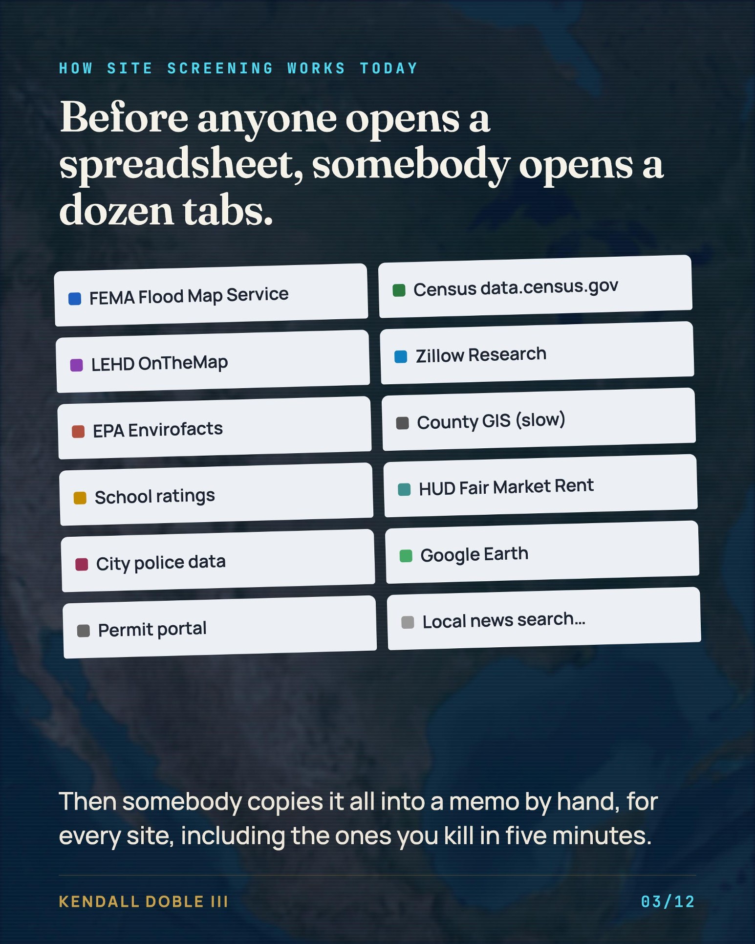
Type an address and in about 10 seconds you get a site dossier on a 3D map with flood zone, jobs, apartment permits, asking rents, schools, EPA sites, rezoning cases and local headlines. I ran Ponce City Market in Atlanta today: 512,006 jobs within a 15-minute drive, FEMA Zone X, and $2,079 typical asking rent in the ZIP. Every number carries its source and its date.
All of it comes from public data (Census, FEMA, EPA, USGS, HUD, Zillow Research, OpenStreetMap). It was always free. Nobody had put it in one place.
Two warnings: it's the screen you run before you open the model, so don't treat it like underwriting or an appraisal, and it's a beta with bugs I'm still finding.
I'm giving it away under an MIT license, and it runs on your laptop with no login, though the demographics need a free Census key that takes about two minutes to get. I think the future of the internet is open source, and because Bilawal gave his away, I got to build on it.
Passing it on seems only fair.
Clone it and break it, then tell me what it's missing for underwriting and site selection. The best ideas go in the next version.
https://lnkd.in/eVte3guJ
Original project: https://lnkd.in/eZQNwe_q
#multifamily #commercialrealestate #opensource #proptech